
Crash Rescue Map
- Home
- Camp Wolters
- A Model Soldier
- Camera Trip Through Camp Wolters
- Camp Wolters Longhorn
- Camp Wolters Ephemera
- Camp Wolters Guide
- Camp Wolters IRTC
- Camp Wolters Postcards
- Camp Wolters Unit Photos
- Christmas Menu
- Present Site of Camp
- Southwestern Bell Booklet
- Camp Wolters Souvenir Book
- IRTC Doughboy
- Soldier - Billy S. West
- Soldier Artist
- Soldier's Letters
- Soldier's Photos
- Fort Wolters
- United States Primary Helicopter/School
- Flight Training
- ORWAC Class 68-24
- WORWAC Class 67-5
- Training Aircraft
- Stagefields and Heliports
- Southern Airways of Texas
- USAPHS Commandants
- Battery D, 4th Missile BN 562nd Arty
- 328th U.S. Army Band
- Det. 20, 16th Weather Squadron
- Guide and Directory
- Crash Rescue Map
- Dave Rittman Photos
- Fort Wolters Photo Gallery
- Fort Wolters Ephemera
- Wolters Air Force Base
- Fort Wolters Main Gate
- Around Mineral Wells
- Texas Forts Trail
- Vietnam
- Sitemap
- Links
- About the Site
- What's New
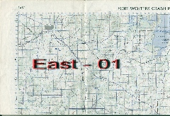
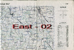
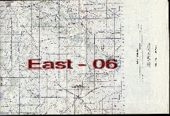
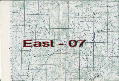
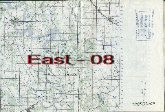
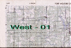
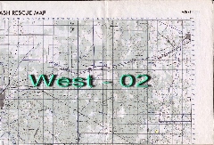
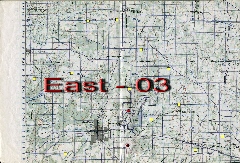
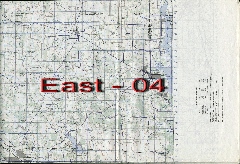
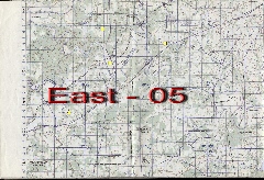
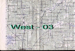
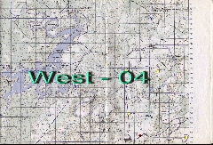
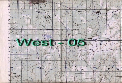
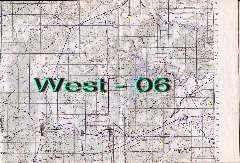
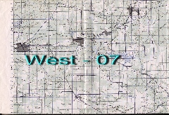
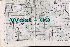
All aviators at Fort Wolters from the late 1960's and onwards were issued a Crash Rescue Map. This king-size map measured 34" x 57.5 " and was two-sided - one side showing the area roughly to the east of Fort Wolters, while the reverse side showed the area to the west of the Fort. All of the Stagefields and Heliports were shown, as well as civilian airfields and all geographic points of interest. An Aircraft Mishap Notification template was listed on the side of the map, listing the radio frequencies for the main heliports as well as the Crash Rescue helicopter. All of the sections can be viewed on the Crash Rescue Map Gallery. |
|
 |
 |
|
|
|
 |
 |
 |
|
|
 |
 |
|
|
|
|
|
 |
 |
|

